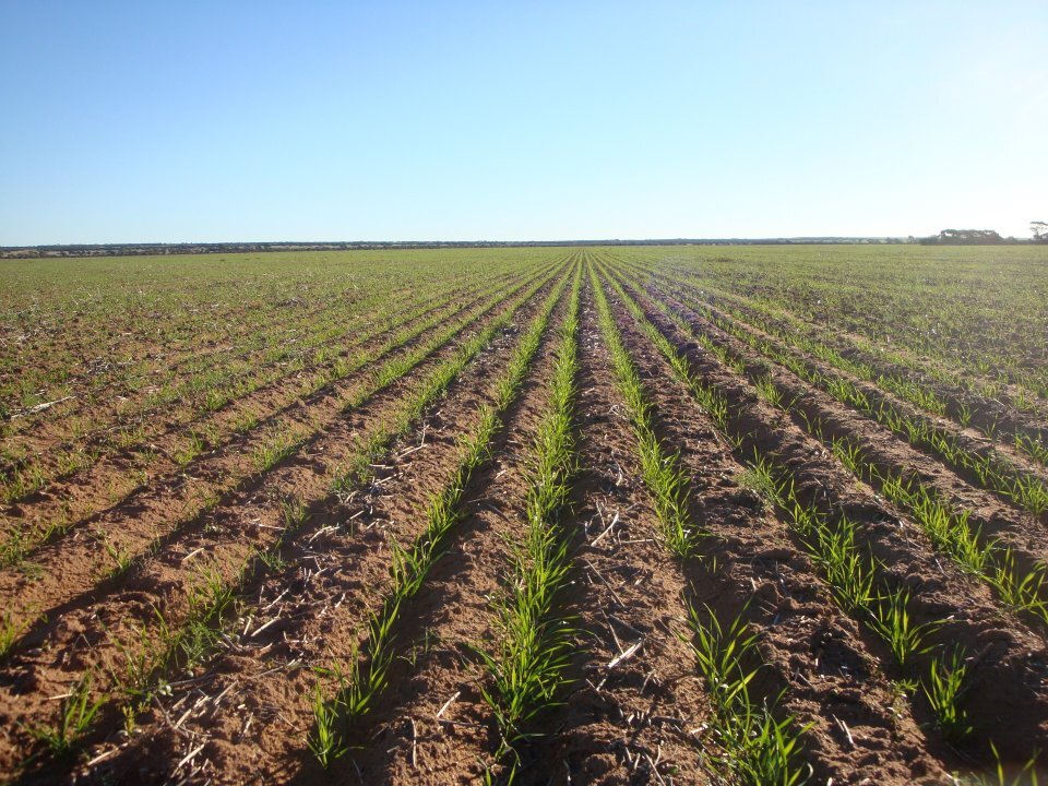
The Mapping Process
We provide custom maps for farm owners interested in selling, leasing or better managing their property.
The paddock boundaries are captured initially, then every item of bush and non-arable area are digitised.
These landuse areas are intersected with the farm plan and summary reports showing landuse areas are displayed on the maps.
The maps are created with a high level of detail and give a professional impression of your property.
Title Capture


After sending us your title information, we search and extract the legal polygons from the state digital database. This is loaded in our GIS and then overlaid on the latest aerial imagery available.
We use a combination of freely available satellite imagery and also Landgate’s Regional Mosaic.
Landuse Capture


The title polygons are then divided up in separate landuse areas, with an accurate area for each landuse type. All non-arable areas are also classified, giving all effective areas available. Rocks, trees, drains and all buildings are mapped, delivering a highly accurate representation of your property.
Landuse Report


All landuse areas are then summarised into their classifications and a draft report is created. The draft aerial maps are sent to you along with the draft report.
You can view these drafts in an online portal, where you can notate any changes that are needed. When this process is complete, a final report is sent to you.