What We Do
Rokit Science has been producing high quality landuse assessments for rural properties since 2013.
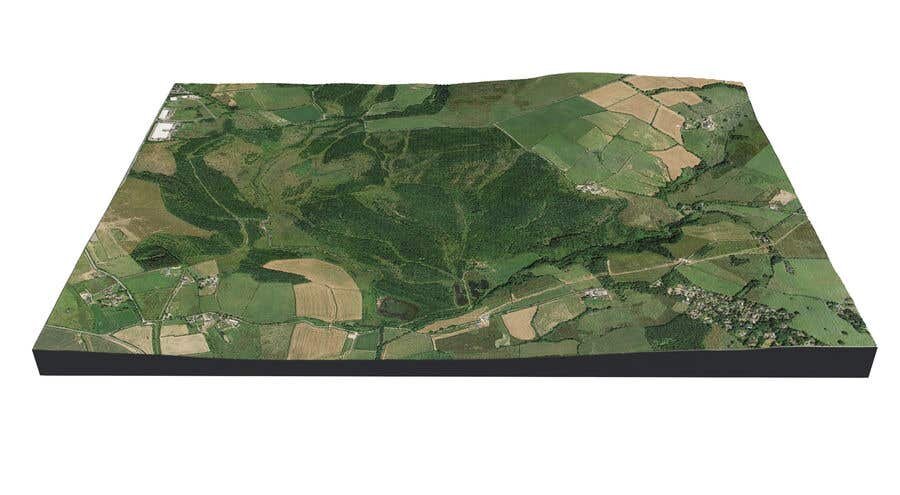
After being asked to fill a gap in the industry, we have utilised our strong GIS experience to provide high quality reports for property owners.
Whether you are a seller or buyer of a property, you will receive a report detailing every feature of the titled area, with a breakdown of each landuse type.
Since 1999...
Our History
Rokit Science was founded in January 1999 by Peter Hudson after several years as the Senior GIS Consultant at GeoSys GIS Consultants in Perth, Western Australia.
Rokit Science was created as a small software house committed to using the latest in software development tools to create systems that give access to complex functions through simple interfaces.
The main areas of application development of these years covered the areas of:
Spatial Databasing using GIS
Business Intelligence
Integrating Business Systems
Property Mapping
Project Planning and Management Software
We are now focused on delivering highly accurate property land use maps to our clients.
Rokit Science specialises in ESRI and QGIS GIS software and has staff with extensive experience across these product lines.